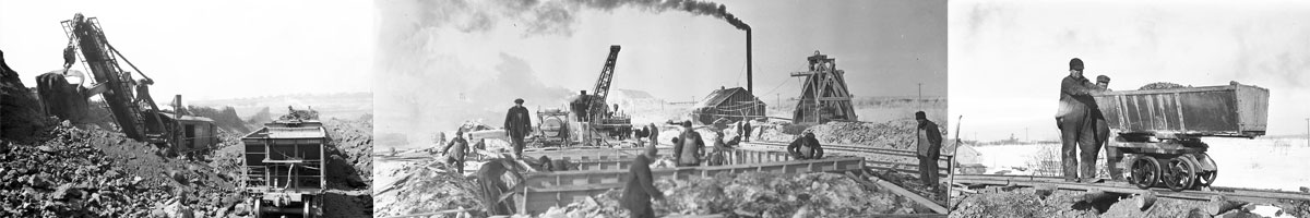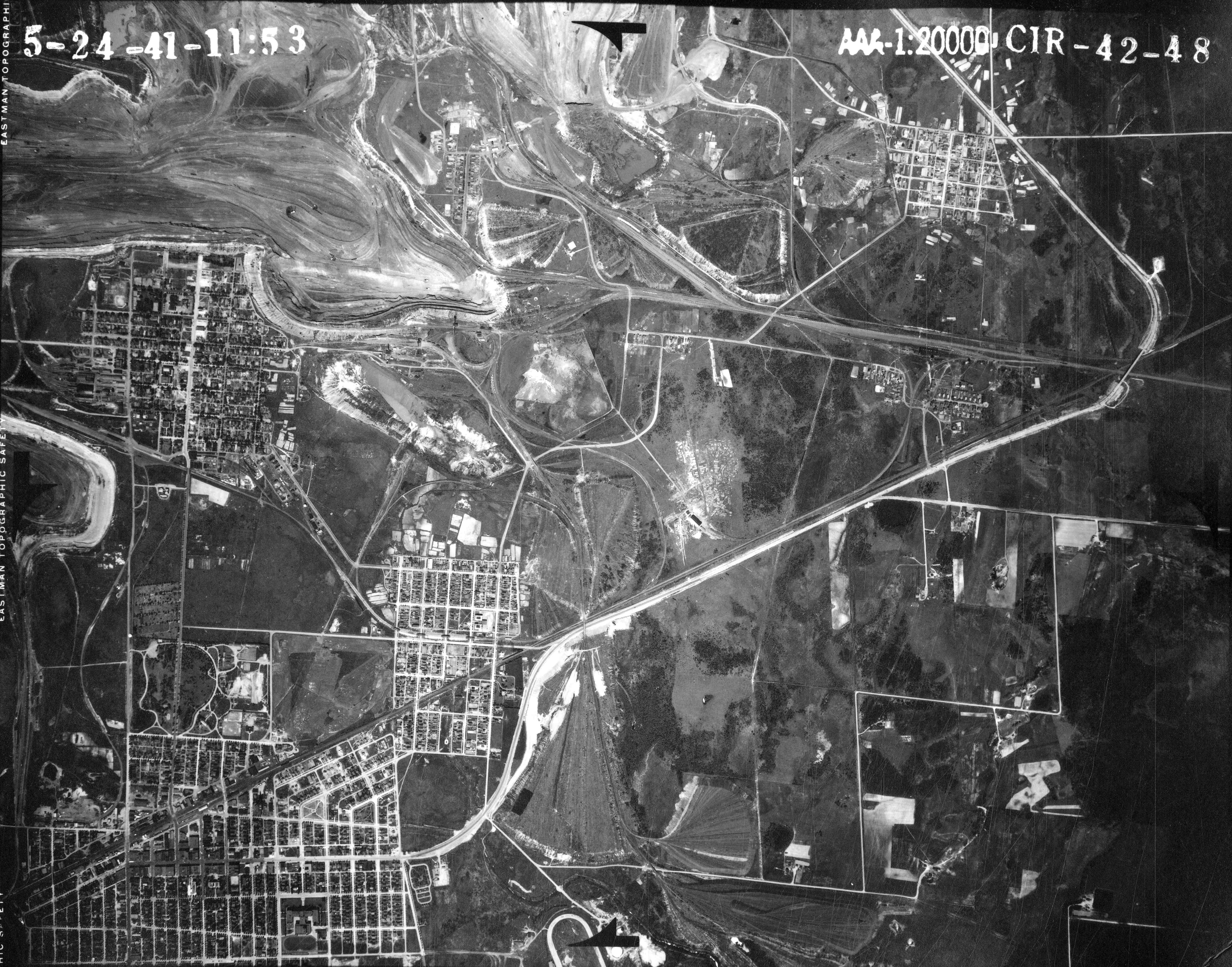
Aerial Map, Mitchell 1941
Accession number:
Date: May 24, 1941
Aerial map showing North Hibbing, Brooklyn Addition, South Hibbing, Kitzville, Mitchell and Redore. Photograph courtesy Minnesota DNR - Historical AirPhoto.
Collection: Mitchell
View Full Size Image